Underground Utility Mapping
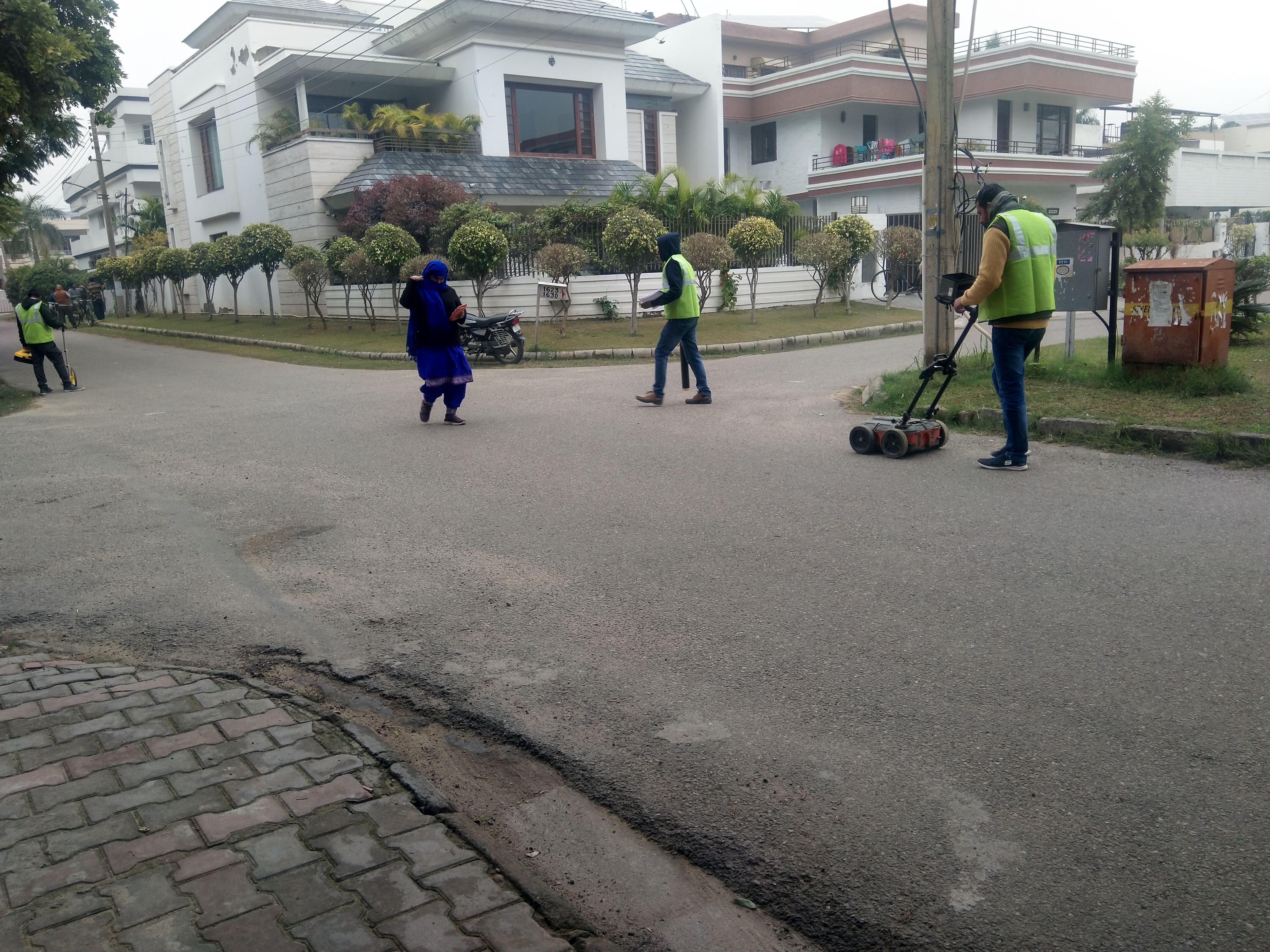
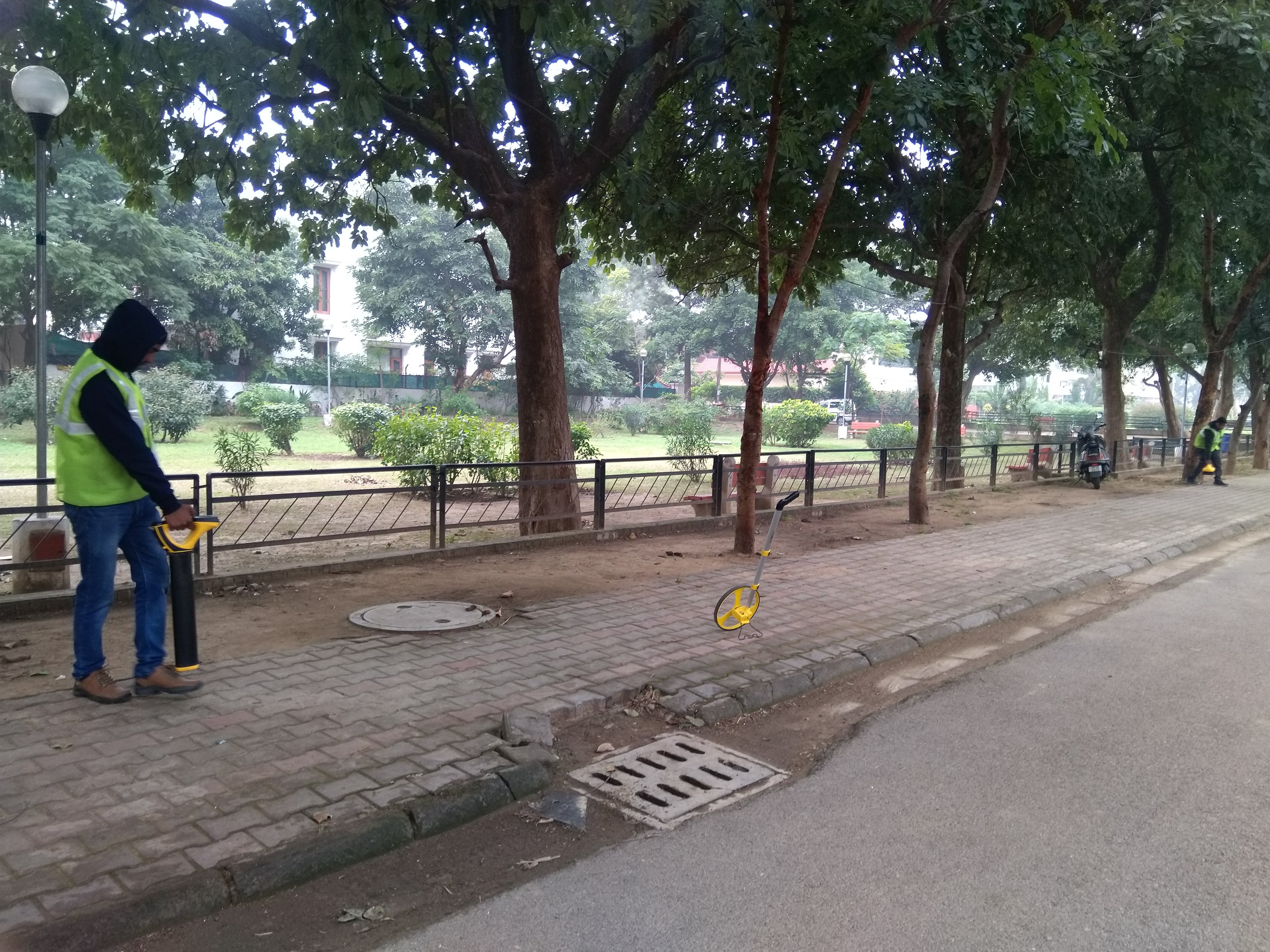
Underground Utility Mapping
The objective of the project is to provide improvised information of Municipal’s functions including planning, development and its management covering various components, i.e. Roads, Infrastructure, Utilities or Service Lines etc. It will involve mapping of all the underground utilities along with allied components (i.e. manholes, chambers, road gullies, valves, etc.) including integration/superimposition of the above on a Geo-referred Base Map of Chandigarh.
Project Components
- Generating Baseline data
- Data Validation
- Field verification
- Data Integration
Impact
- An accurate and detailed representation of all utilities of the city.
- Ease of carrying out repair works.
- Better coordination for services by various departments.
- Reduction in overlapping responsibilities.
Other Details
Total Cost: 5.98 Cr.
- STATUS: Work Completed
- Date of completion:31.07.2021